Gravity
is overrated
keyboard_arrow_rightApplications

We can save you millions by collecting, processing and returning satellite, drone and IoT data in our videogame-easy 3d environment.
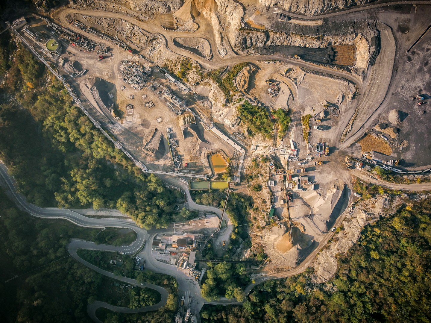
Through our proprietary software platform and enterprise-scale field ops, we can unlock the untapped potential of data for precision surveys and large assetmanagement.
Our solution is entirely as-a-service for seamless integration: cutting edge hardware, highly trained field personnel and industry-vertical processing teams to acquire and elaborate data you currently struggle to collect or manage that could make a massive difference in maintenance, production efficiency, risk management and cost reduction.


.jpg?q=80&auto=format&w=1440)

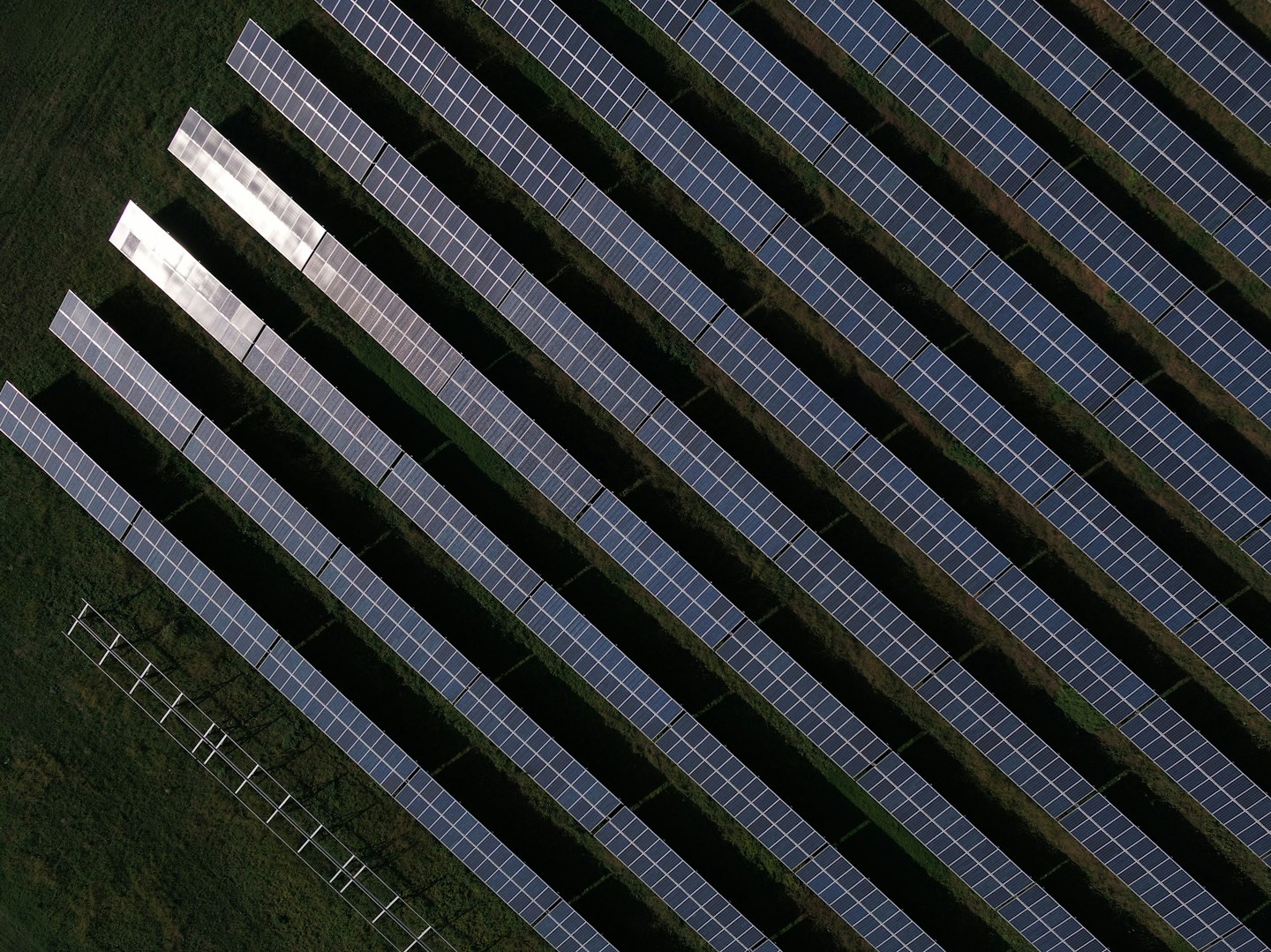
To ensure max efficiency we provide advanced thermal-radiometric, visual and geometrical inspections both for solar plants and wind tubrines.
To fully leverage the untapped potential of UAVs, IoT and 3d laser systems within an organization, it would take years of training existing personnel, hiring new professionals, change workflows... and before cashing in on huge savings and increased productivity, you would end up putting big money and getting some headache upfront.
We’ve built a 100% as-a-service solution allowing instant integration of these technologies with little or no effort at all.
Our certified field personnel is equipped with cutting edge ground and aerial technology such as advanced 3d laser scanners and industrial UAV for deep, extremely accurate and objective RGB, thermal and multi-spectral surveys.
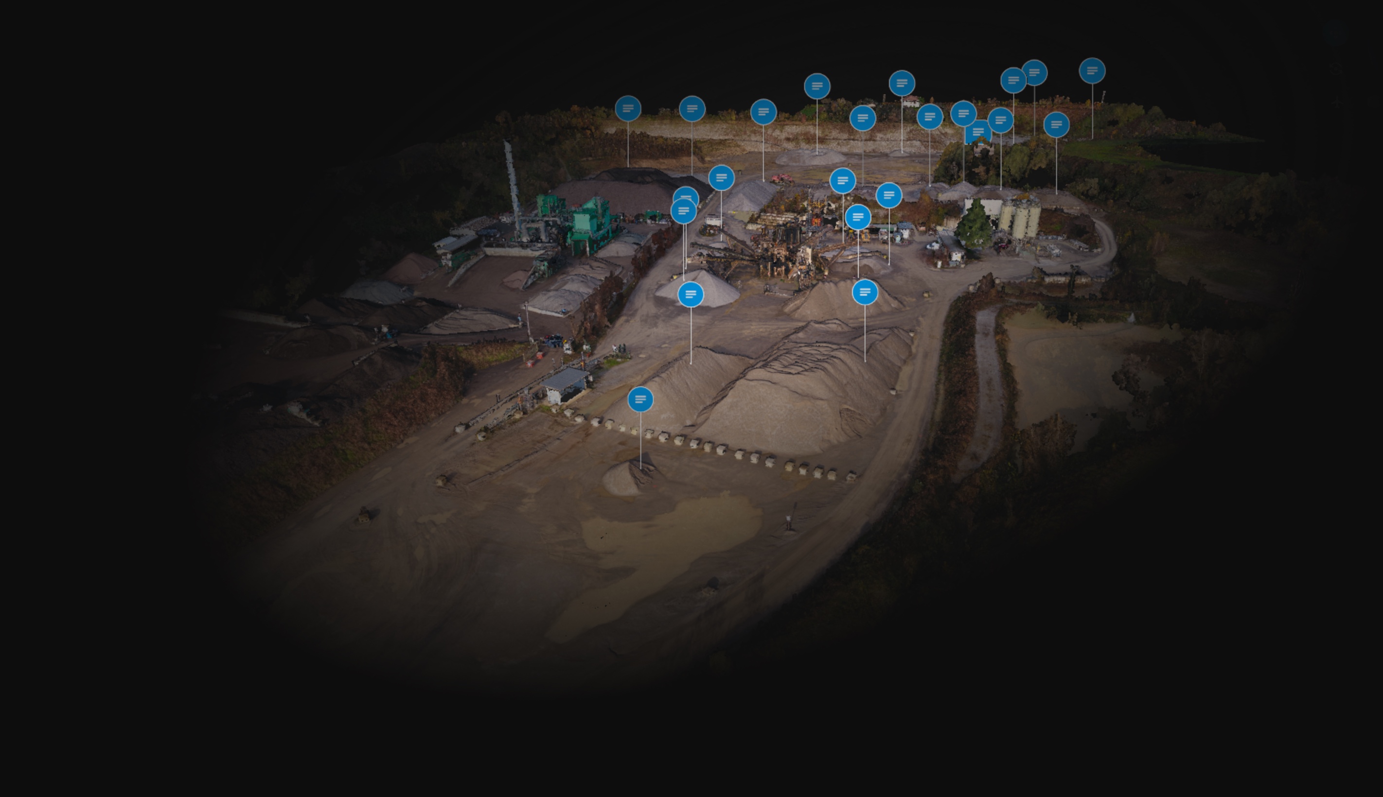
In our headquarters, teams of industry-vertical data specialists recieve and process data acquired by field operatives worldwide. Within a few working days (even 24h if needed!) elaborated data are returned through Primis Live®.
Visualize your data in Primis Live® our videgame-easy 3d collaborative data management web platform. Based on a proprietary point cloud engine we can generate a digital twin of large physical assets where data from different sources (IoT, APIs, manual inputs) are integrated and can be managed, shared, exported and much more.